Funny to have found out about this ocean site while up at Lake Tahoe, but Sam's roomate, Kevin, told me about it when we were up there for Christmas. Just goes to show how many mountain lovers are also ocean lovers! Kenneth & Gabrielle Adelman have been flying over California's coastline and photographing it since 1997 in order to show environmental changes over the years. The site also has state agency photos from the 1970s and 1980s. Click on this blog title and take a look at the site; it's really a wonderful project for so many reasons! Each aerial photo will also link to Google Local and other mapping sites to help you better locate each photo.
Very cool!
This is a link to where you would be if you traveled to the beach due west from our house:
Pierpont and Kingston Lane as seen from above the coast. This is the Pierpont area just north of Pierpont Elementary School and quite a bit south of the Ventura Pier and State Beach. If you click on this medium-sized photo, a much larger one will open up. (Have patience, it may take a while.) Our friends live about fourteen blocks north of Kingston and you can even see one of those little toddler big bikes in the driveway!
If you search for
Image 200404717 you'll see most of the UCSB Davidson Library where I work. The Library is near the top of the picture - the 8-story tower with the 4-story section on the islands side and the 2-story section on the mountain side. (I
love my work location!)
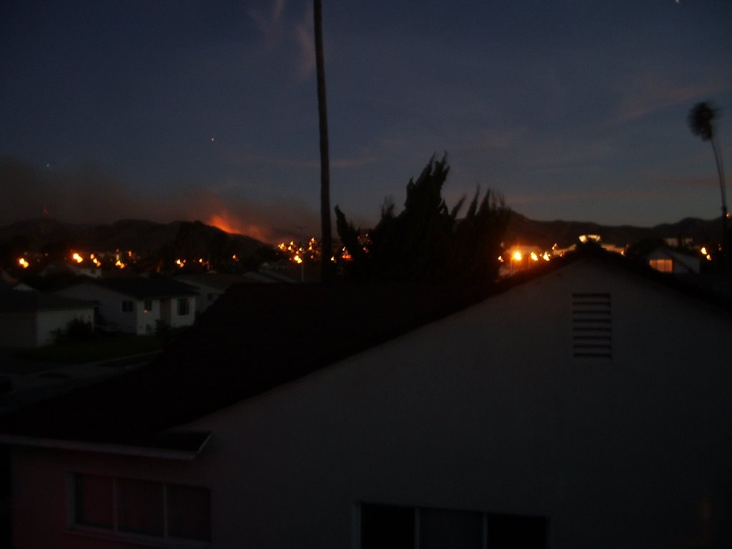
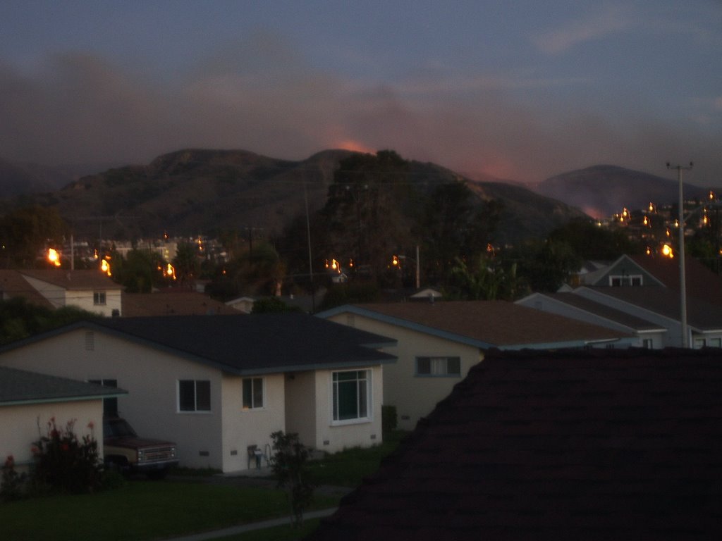


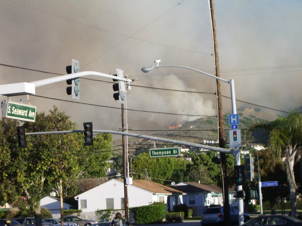
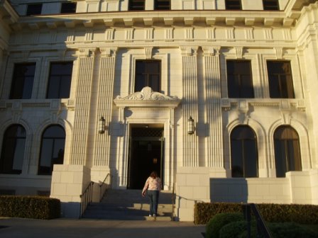

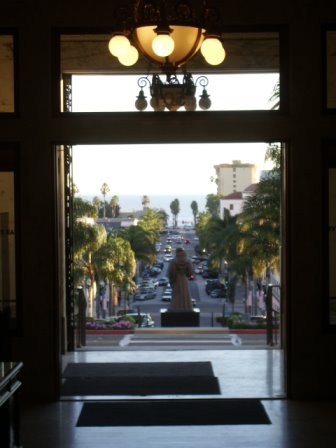

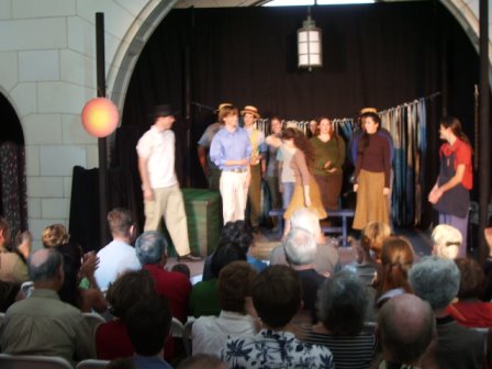
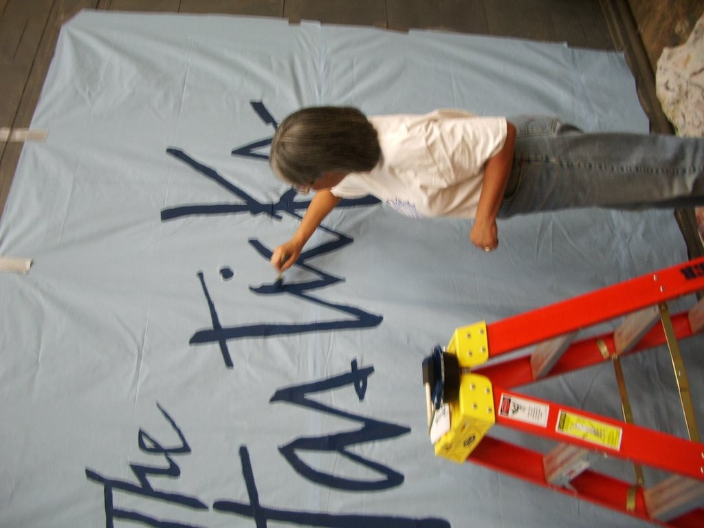
 Due to the School Canyon fire (see other post) closing of City Hall, our Friday night public dress rehearsal was cancelled. The entire cast and crew set up the room and stage the next morning, held a dress rehearsal, and performed to an overflowing house on the Saturday before Thanksgiving.
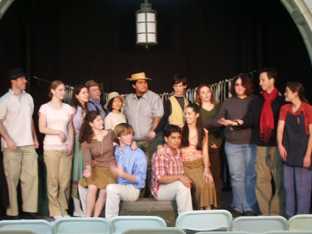
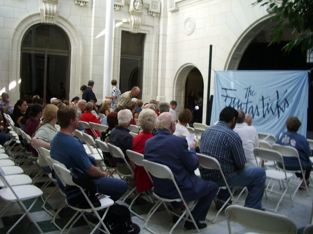
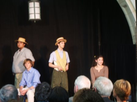
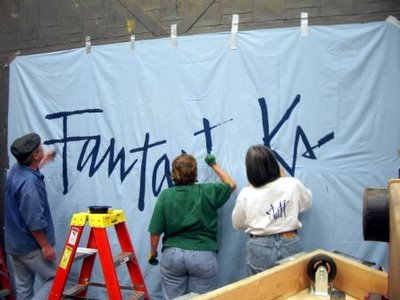
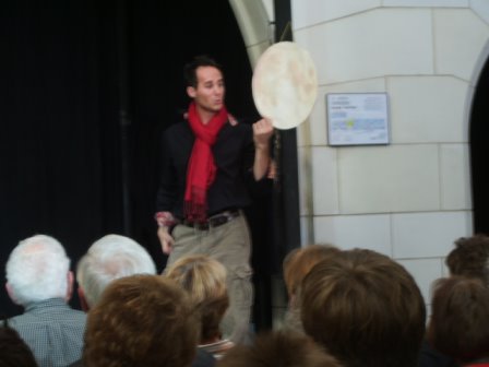 (Tom took these smaller photos during the actual performance.)

